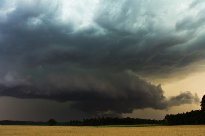
Southern Tornado Threat
Severe weather is likely today for parts of the South.
An Enhanced Risk is in place for parts of Texas, Oklahoma, Arkansas, Louisiana, and far western Mississippi. This includes Dallas, Waco, and Lufkin, TX, Norman, OK, Shreveport and Alexandria, LA, and Greenville, MS.
Wednesday, April 22 Severe Weather Outlook
All modes of severe weather will be possible today, including the risk for very large hail and tornadoes, some of which could be strong.
Wednesday, April 22 Tornado Outlook
The severe weather threat continues tomorrow. The Enhanced Risk area shifts to the east to include Mobile and Birmingham, AL, Atlanta, Columbus, and Savannah, GA, Charleston, SC, and Tallahassee and Jacksonville, FL.
Thursday, April 23 Severe Weather Outlook
Follow us on Twitter for updates!


What People Are Saying...
Twitter Mentions
Reddit
Jetpack Comments
Comments are closed here.