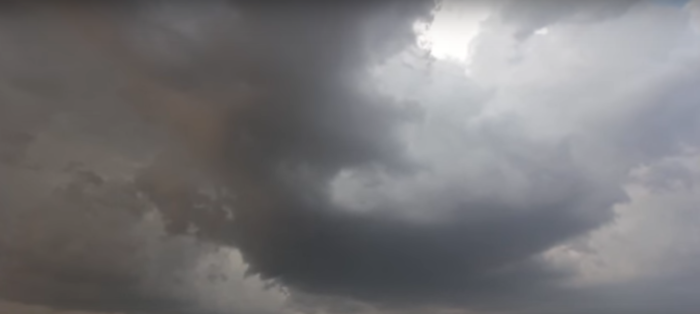
Severe Threat for Mid Section of the Country
Severe weather will be possible today and tonight for a good chunk of the mid-section of the country. There are two different Enhanced Risk areas.
The first includes far southeastern Nebraska, extreme northeastern Kansas, northern Missouri and much of southern Iowa. This includes Omaha and Lincoln, NE and Des Moines, IA.
The second area stretches from northern Arkansas through southeastern Missouri and into southern Illinois, southern Indiana and far northern and western Kentucky. This includes Little Rock, AR, Evansville, IN and Louisville, KY.
Thursday, March 19 Severe Weather Outlook
The main threat with today’s storms will be the potential for damaging wind gusts and a few tornadoes. The greatest risk for large hail is primarily in parts of southeastern Nebraska, southwestern Iowa and far northwestern Missouri.
Thursday, March 19 Tornado Outlook
Follow us on Twitter for the very latest!


What People Are Saying...
Twitter Mentions
Reddit
Jetpack Comments
Comments are closed here.