Major Winter Storm Headed for the Upper Midwest
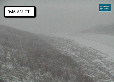
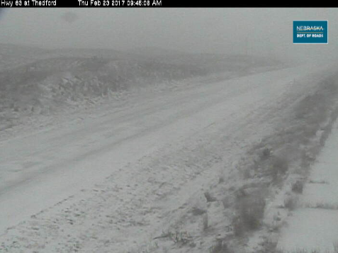
A strong February storm system is set to dump over a foot of snow on portions of South Dakota, Nebraska, Iowa, Minnesota, and Wisconsin through Saturday night. Snow is already falling in Nebraska with snowfall rates of 1-2″ per hour being reported. Roads are snow covered and visibility has dropped to less than a quarter mile in some spots.

This snow will eventually push into Iowa, Minnesota, and Wisconsin. The Twin Cities will be on the northern edge of where the heaviest band of snow is likely to set up. This will result in a tight gradient of snow totals. As little as 1-2″ could fall in the northern suburbs, while the southern suburbs could get closer to 8-10″.
Snow Forecast (NDFD) through Saturday Night via WeatherBell
Strong winds are the other big story with this system. Some locations are under a Blizzard Warning for Friday as heavy snow and winds over 40 mph are expected. Here’s a look at current (10 AM CT) watches, warnings, and advisories from the Twin Cities National Weather Service:
Snow developing this evening. Heavy snow tonight & Friday. #mnwx #wiwx pic.twitter.com/eDYm4oQMnB
— NWS Twin Cities (@NWSTwinCities) February 23, 2017
The heaviest snow is likely in northern Nebraska, northern Iowa, southeast Minnesota, and central Wisconsin. Most locations within these areas are looking at 8-12″ with localized 15-18″ amounts. This is highly dependent on where exactly that heaviest band sets up.
A small change in the track of this storm could significantly impact the amount of snow you will get! It is very important to keep a close eye on your local forecast!
Stay tuned to our Twitter for more updates!


What People Are Saying...
Twitter Mentions
Reddit
Jetpack Comments
Comments are closed here.