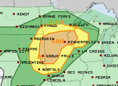
Upper Midwest Severe Threat
An active week continues in the Upper Midwest with an Enhanced Risk for severe weather today in parts of South Dakota, Iowa, Minnesota, and Wisconsin. This includes the Twin Cities metro and Sioux Falls, IA.
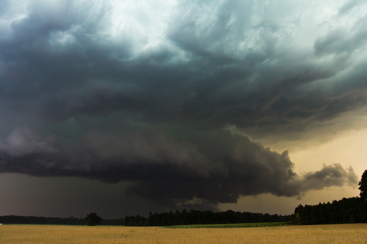
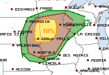
Storms are expected to develop later this afternoon in parts of South Dakota and far northeastern Nebraska and move into northwestern Iowa and western Minnesota, Initially, the primary threats will be very large hail, damaging wind gusts, and isolated tornadoes. The tornado threat is highest in extreme eastern South Dakota and western Minnesota, including Sioux Falls and Watertown, SD, and St. Cloud, Mankato, and Willmar, MN.
Storms are expected to evolve into an MCS over parts of Minnesota leading to an increase in the potential for significant winds for parts of central/eastern Minnesota into western Wisconsin this evening.
Yet another round of severe weather will be possible for many of the same areas tomorrow.
Follow us on Twitter for updates and watch live storm chasers here.
What People Are Saying...
Twitter Mentions
Reddit
Jetpack Comments
Comments are closed here.