Two Severe Weather Focus Areas Today
Two separate areas of the U.S. have a heightened risk of severe weather today. The first Enhanced risk area is in the western Central Plains, while the second area is in the Mid Atlantic.
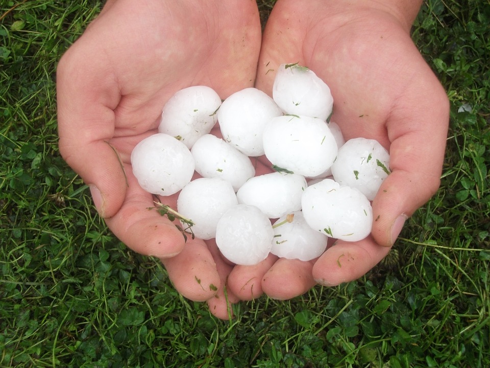
Severe thunderstorms in the Central Plains will be capable of producing damaging wind gusts, large hail, and even a few tornadoes.
Severe Weather Outlook (Central Plains) Tuesday, August 13
Storms in the Mid Atlantic will have the primary threat of damaging wind gusts.
Severe Weather Outlook (Mid-Atlantic) Tuesday, August 13
Stay tuned to Twitter for the latest watches and warnings!
What People Are Saying...
Twitter Mentions
Reddit
Jetpack Comments
Comments are closed here.