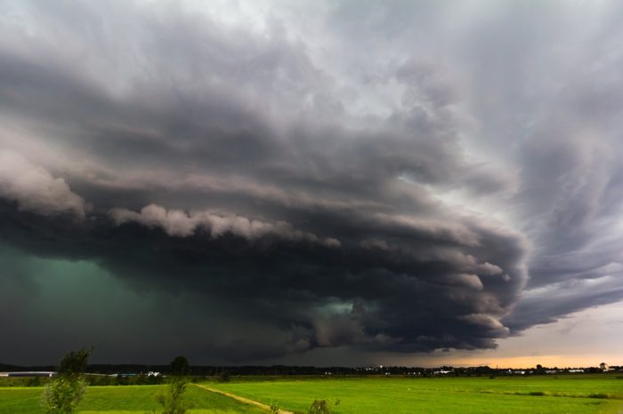
Last Day of April Brings Tornado Threat
We’ll end the month of April on an active note with the threat for severe weather across parts of the central and southern Plains.
Today’s Enhanced Risk stretches from extreme northeast Texas into southwestern Missouri. This includes Tulsa and Norman, OK, Springfield, MO, and Fort Smith, AR.
April 30 Severe Weather Outlook
Thunderstorms are expected to develop later today and spread north and eastward into the overnight hours. All modes of severe weather will be possible. The greatest potential for large hail will be confined to parts of Texas and Oklahoma.
There is a 10% tornado risk in today’s Enhanced area. Pay close attention to any watches and warnings if you live in or near this area.
April 30 Tornado Outlook
Follow us on Twitter for the latest updates and watch chaser live streams here!


What People Are Saying...
Twitter Mentions
Reddit
Jetpack Comments
Comments are closed here.